|
|
 |
 |
Fleming County is a county located in the U.S. state of Kentucky. As of the 2010 census, the population was 14,348. Its county seat is Flemingsburg. The county was formed in 1798 and named for Colonel John Fleming, an Indian fighter and early settler. It's a prohibition or dry county.
Fleming County was established in 1798 from land given by Mason County. The first courthouse, possibly built of logs, was replaced in 1830 and again in 1952. |
|
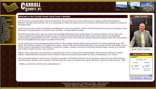 |
Carroll County is a prime location, where the Ohio River and Kentucky River meet. Carroll County is ideally located off Interstate 71 between Louisville and Cincinnati. This is an advantage for those who prefer to live in a rural area and still be close enough to commute to the bigger cities.
Carroll County is rich in history, having been established in 1832 and named for Charles Carroll of Maryland, the last surviving signer of the Declaration of Independence. The county seat, Carrollton, is named after his estate. |
|
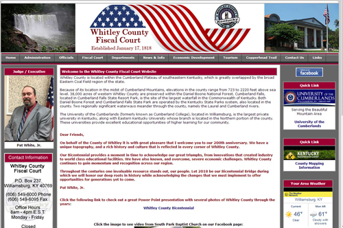 |
Whitley County is located within the Cumberland Plateau of southeastern Kentucky, which is greatly overlapped by the broad Eastern Coal Field region of the state. The namesake of the county, Colonel William Whitley, is famous locally for fighting in many of the skirmishes between native Indians and hunters and trappers prior to its establishment as an independent county. The county seat is Williamsburg.
|
|
 |
Powell County was formed in 1852. It is located in the Eastern Coal field region of the state. The elevation in the county ranges from 580 to 1440 feet above sea level. In 2010 the county population was 12,613 in a land area of 180.14 square miles, an average of 70.5 people per square mile. The county seat of Powell County is Stanton. |
|
 |
History has left tracks in Harrison County beginning with Revolutionary Col. Benjamin Harrison (for whom the county was named). Robert Harrison donated the land where the county seat is now located. The city of Cynthiana was named after his two daughters, Cynthia and Anna. |
|
|